







 HEAVY THUNDERSTORMS AND FLOODS – 4th June 2007
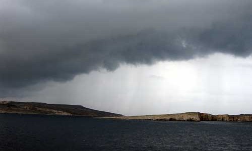
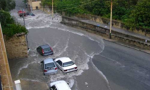
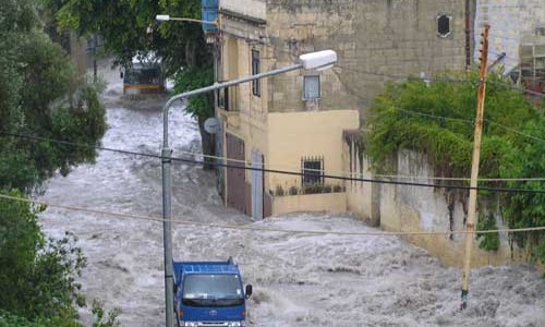
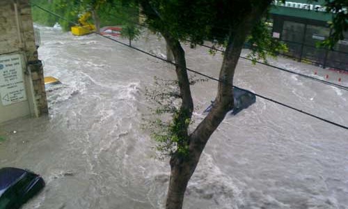
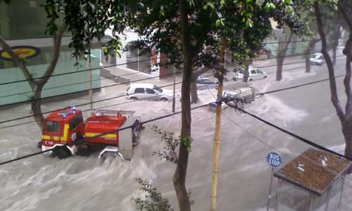
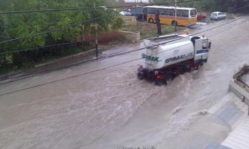
On 4th June 2007, heavy rain showers and thunderstorms struck Malta causing lots of flooding in the usual low-lying areas of Malta with cars being carried away by the flood waters too. Some small hail also fell in a few localities. Photos of an uncofirmed funnel clouds can also be seen in the photo gallery. Today’s heavy rainfall and thunderstorms were caused due to an upper-level low pressure system over the central Mediterranean bringing relatively cold air over a warm sea, creating a great deal of instability with lots of clouds and heavy rain showers and thunderstorms. There was lots of moisture in the atmosphere and the lifted index was of -3.1 and CAPE of 884J/Kg (click on sounding to the left).
Worst hit were the extreme south and the central parts of the island. Some rainfall totals for the whole day (from around 9am to 6pm) for some localities were: Zurrieq 99.2mm, Bahar ic-Caghaq 97.8mm, Iklin 90.0mm, San Gwann 83.9mm, Naxxar 76.0mm, Qormi 73.8mm, Balzan 68.0mm, Msida 63.6mm, Siggiewi 62.6mm. Gozo had hardly any rain! This storm broke all records for June and has already made June 2007 the wettest June ever since rainfall records began in Valletta in 1865! The previous wettest June was in 1915 with 34.5mm of rainfall.
PHOTOS OF STORM AND FLOODS – TAKEN BY SAMUEL CUTAJAR, CHRIS BUGEJA, IVAN BARTOLO, PAUL ZAHRA, GLORIA BORG & LYNNE CUTAJAR.
